Subject: RMIT Studio
Year/Semester: Fourth/First
Involvement: Individual Project
Year/Semester: Fourth/First
Involvement: Individual Project
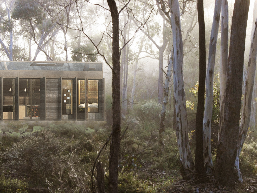
My first studio for the M-Arch course at RMIT was experimenting with the traditional concepts of urban planning. The project centred around Darwin as the nations new capital in 2050, with the intentions of scripting the city based off the current utilisations and patterns presented from the local inhabitants. Analysing one aspect of Darwin, we detached ourselves from the data and agitated the results to overcome any bias and obvious directions that presented themselves. The idea was to reach an outcome that we as individuals or groups would never conceive alone.
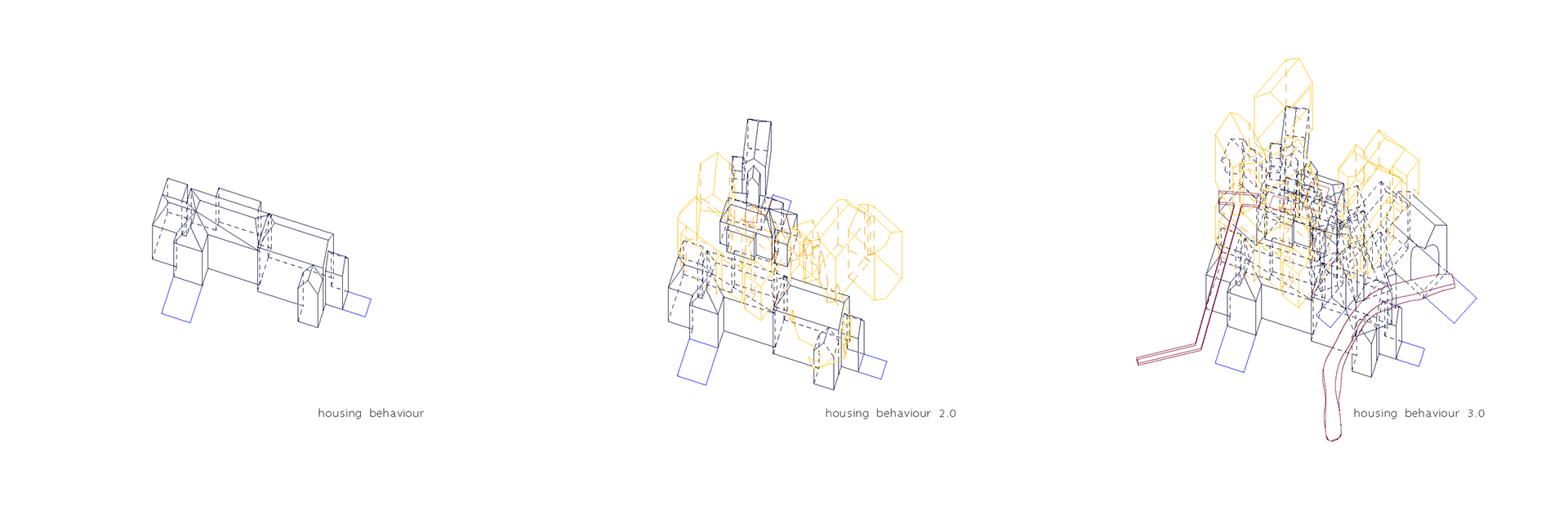
Generating an urban plan using the mapped data we then analysed a behaviour on a micro level and taking that data, substituted our behaviours into the plan. The results created a mesh of broken data that clashed and fought with itself. To test the results, we examined one node of the data and re-scripted the outputs to represent coded environments. The project wasn’t designed to reach an entirely habitable city, but to ensure that we as “urban planners” weren’t controlling the outcome too much and forcing the inhabitants to live the way we desire.
To maintain this goal we were only focusing on one node of the city and refining it within our own guidelines. For the remainder of the city the intention is to have competing architecture firms and citizens to generate, innovate and utilise the spaces as they so desire. An overriding factor with this project was surrealism, the outcomes shouldn’t work.
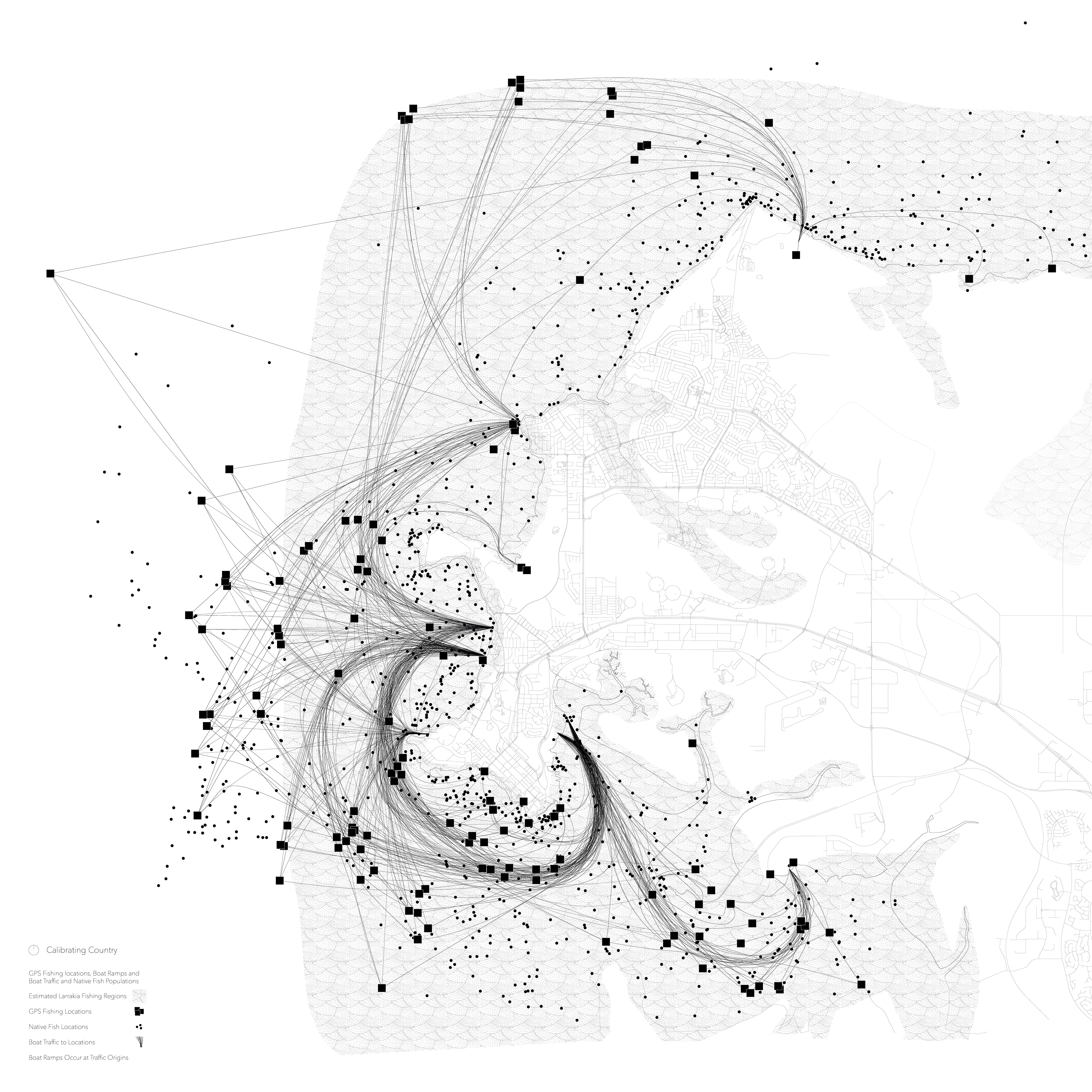
Calibrating Country
The first drawing in the set, to map one aspect of Darwin’s culture.
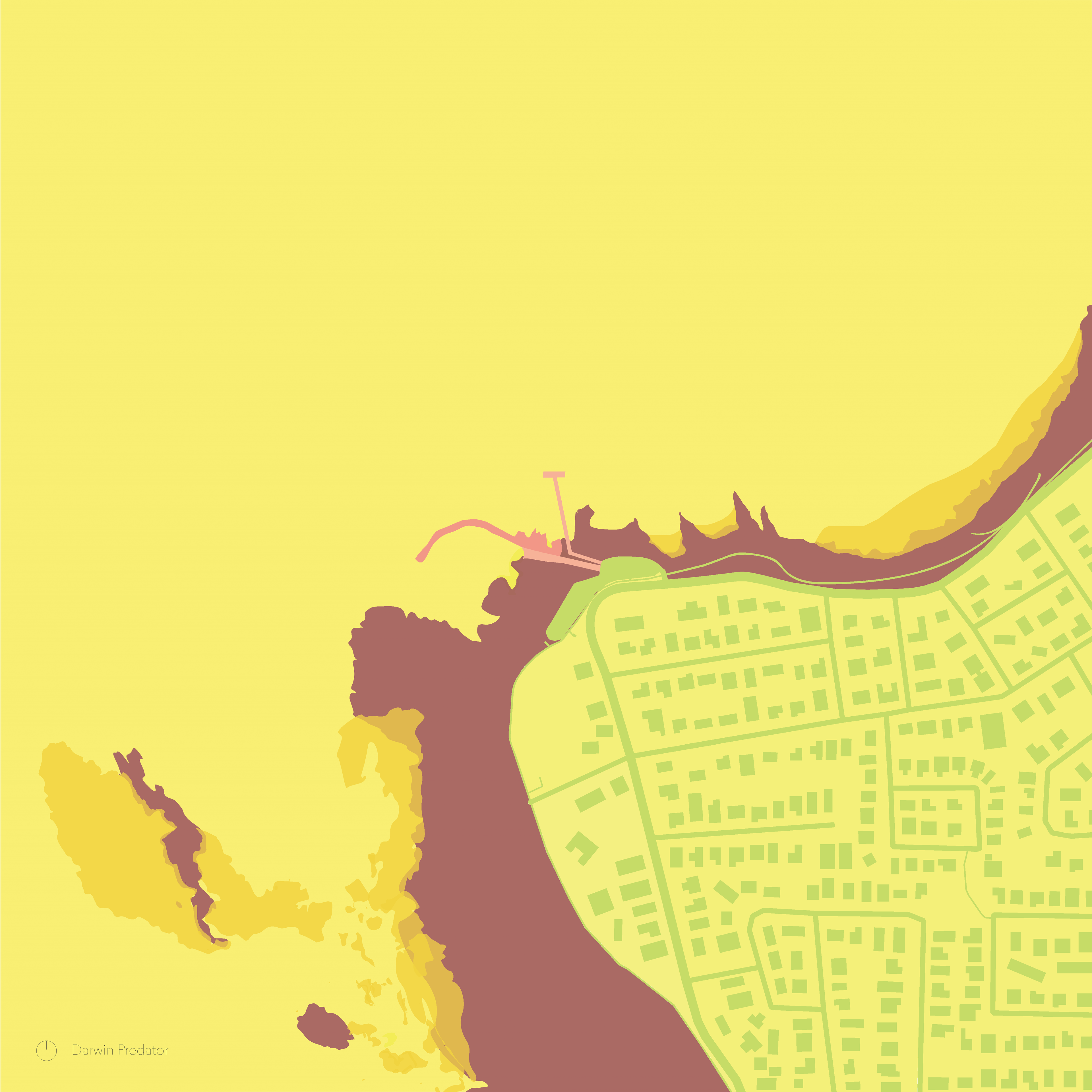
Predator Drawing
A behaviour chosen from a micro level of Darwin. Heavily fluctuating tidal movements and the infrastructure designed to pass that obstacle.
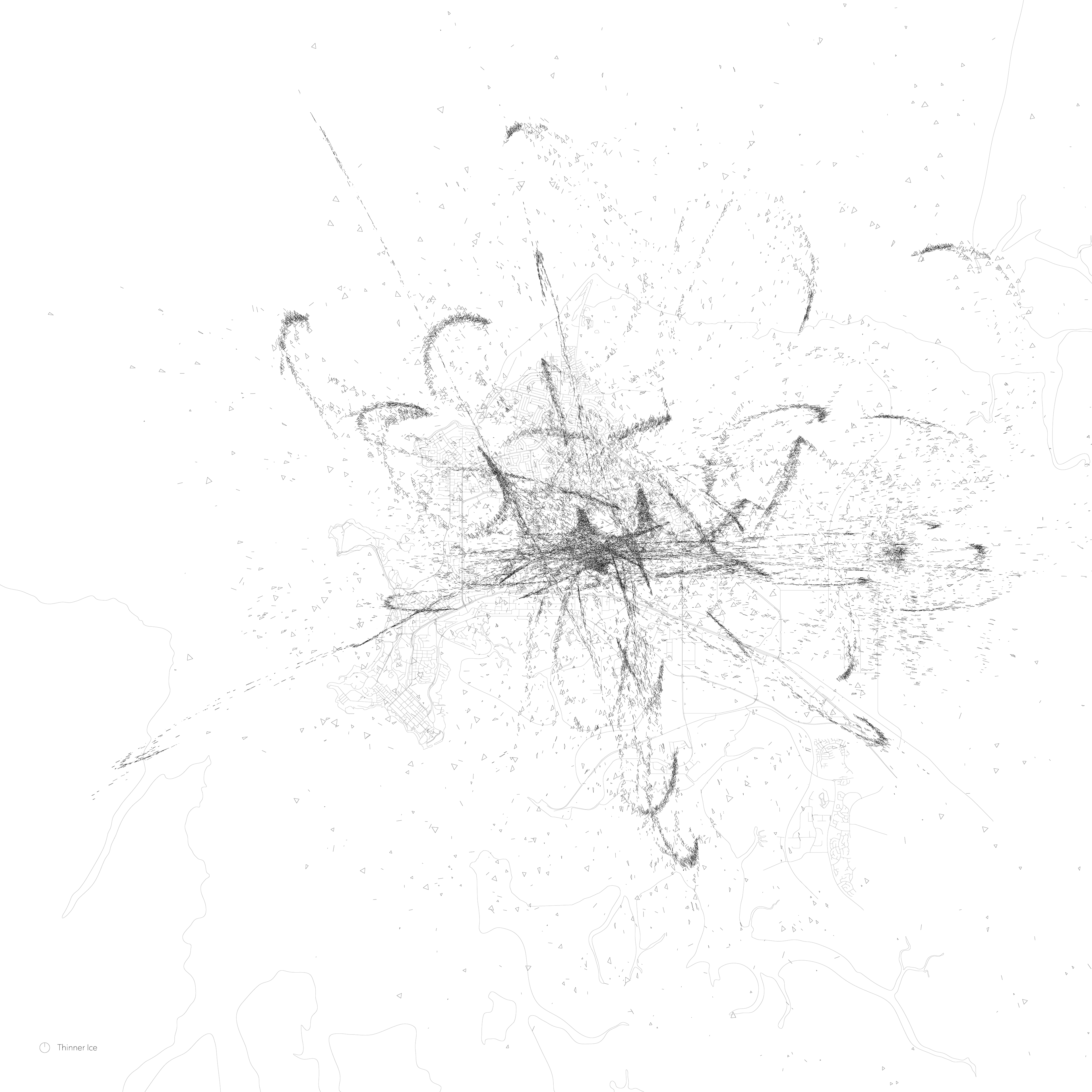
Thinner Ice
The third drawing, scripted and agitated results of the Calibrating Country and Thin Ice.
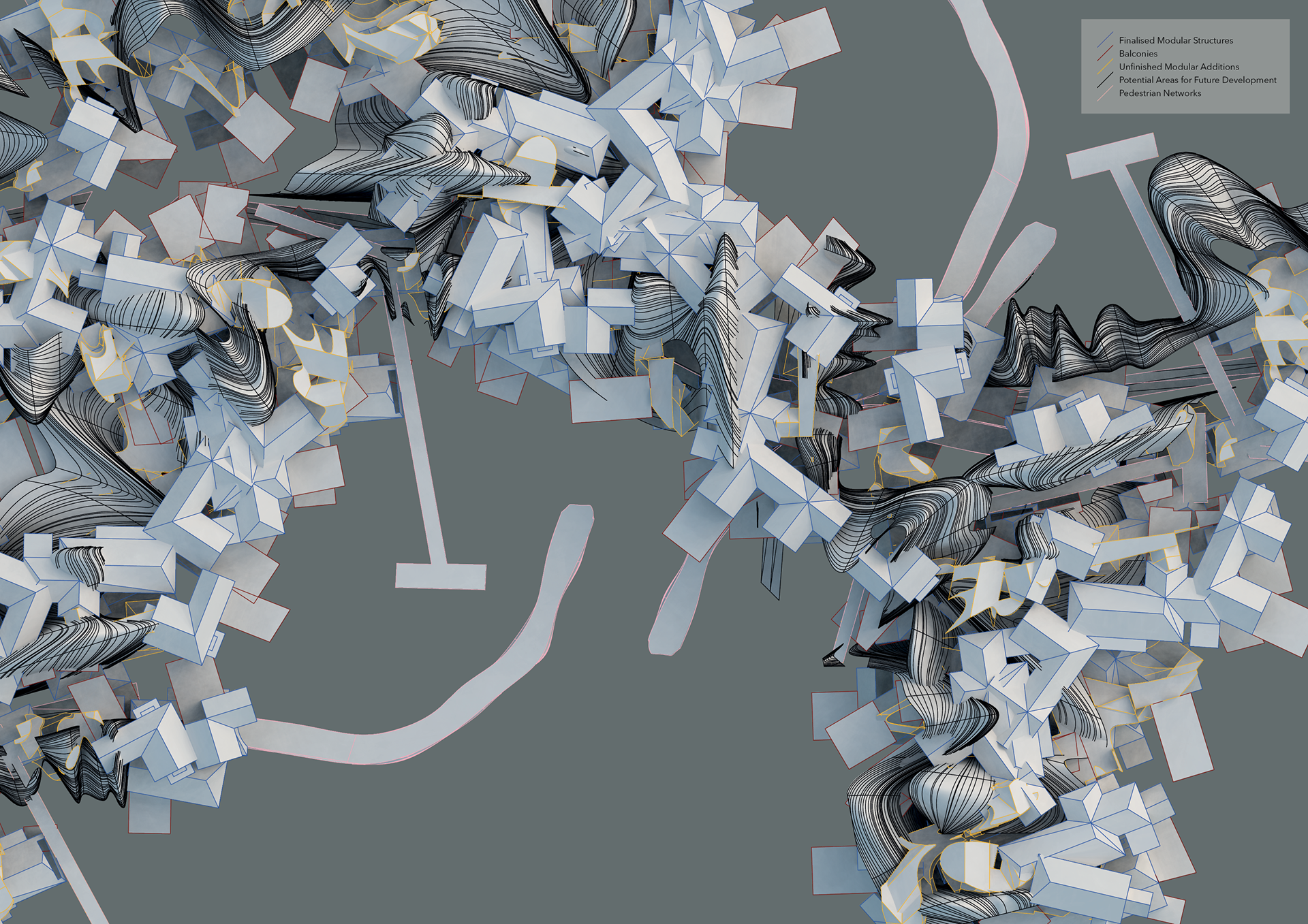
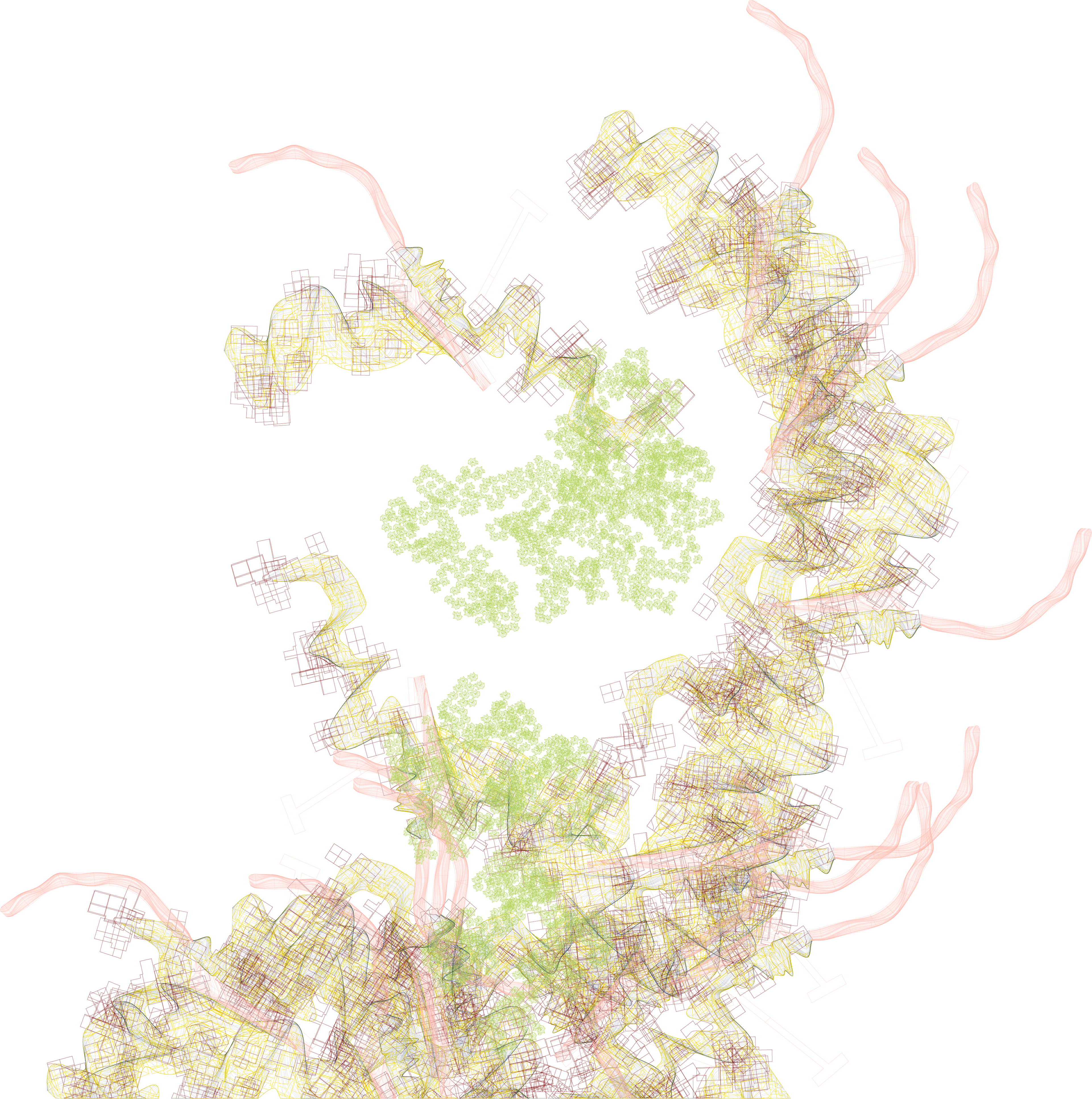
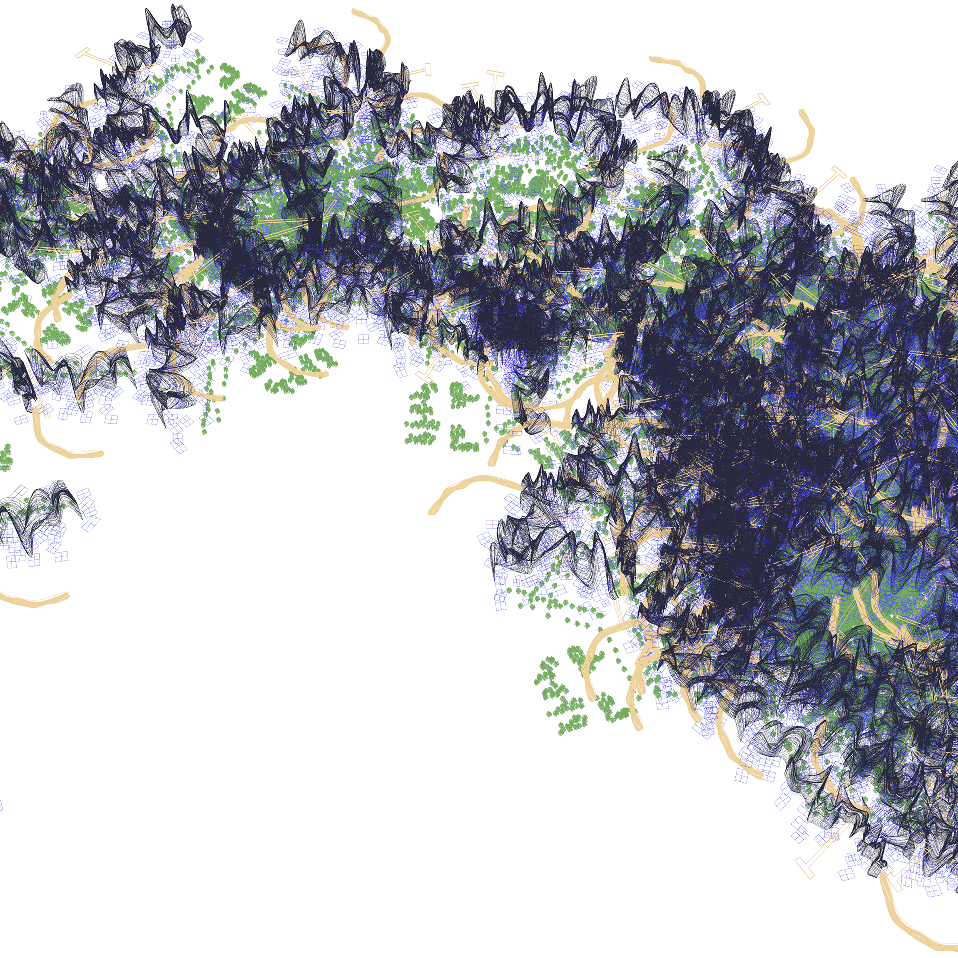
One node of the new Darwin urban diagram, the outcome presenting itself to be read in the form of data.
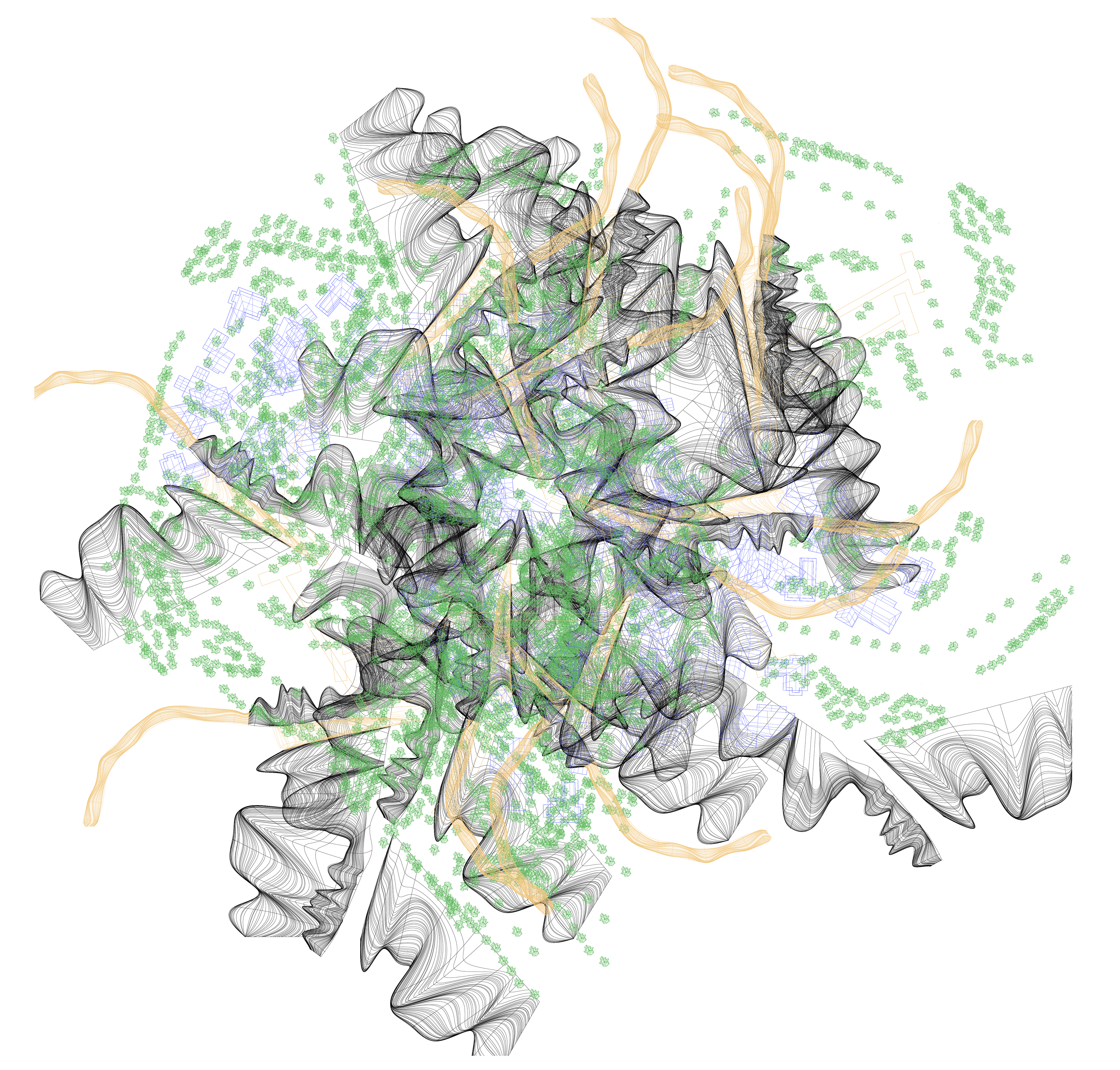
Diagram For a City
The coded drawing that when deciphered, dictates the new relationships of Darwin’s urbanity.
A plan view of Darwin’s recoded environment.

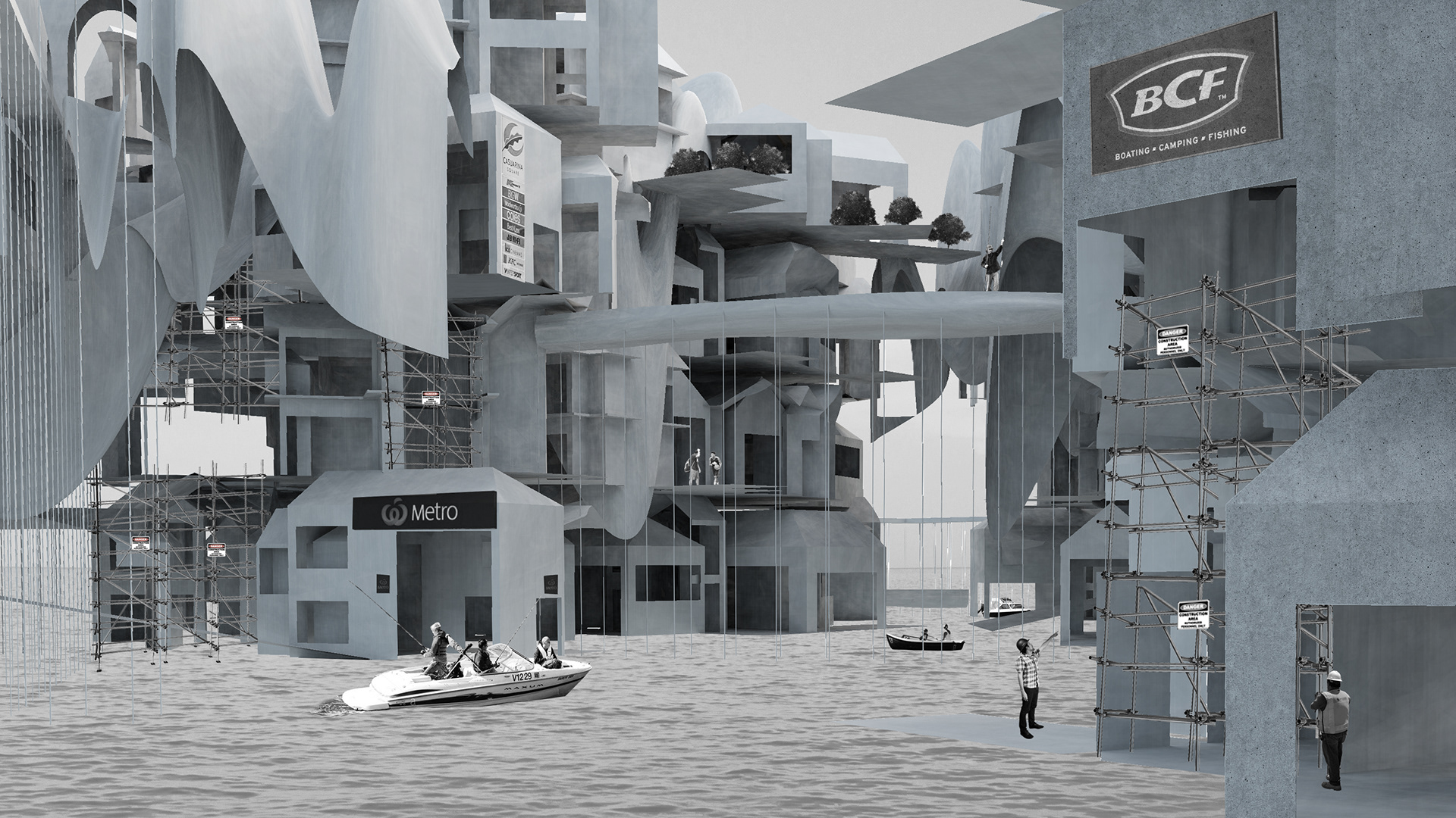
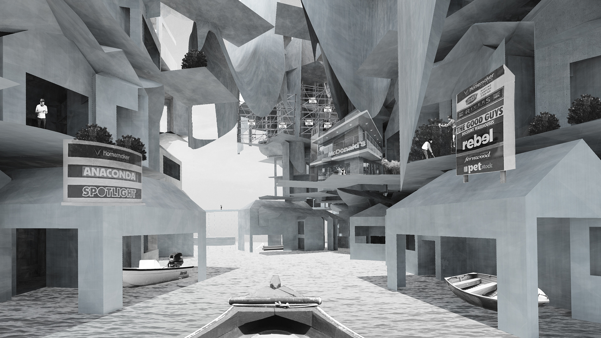
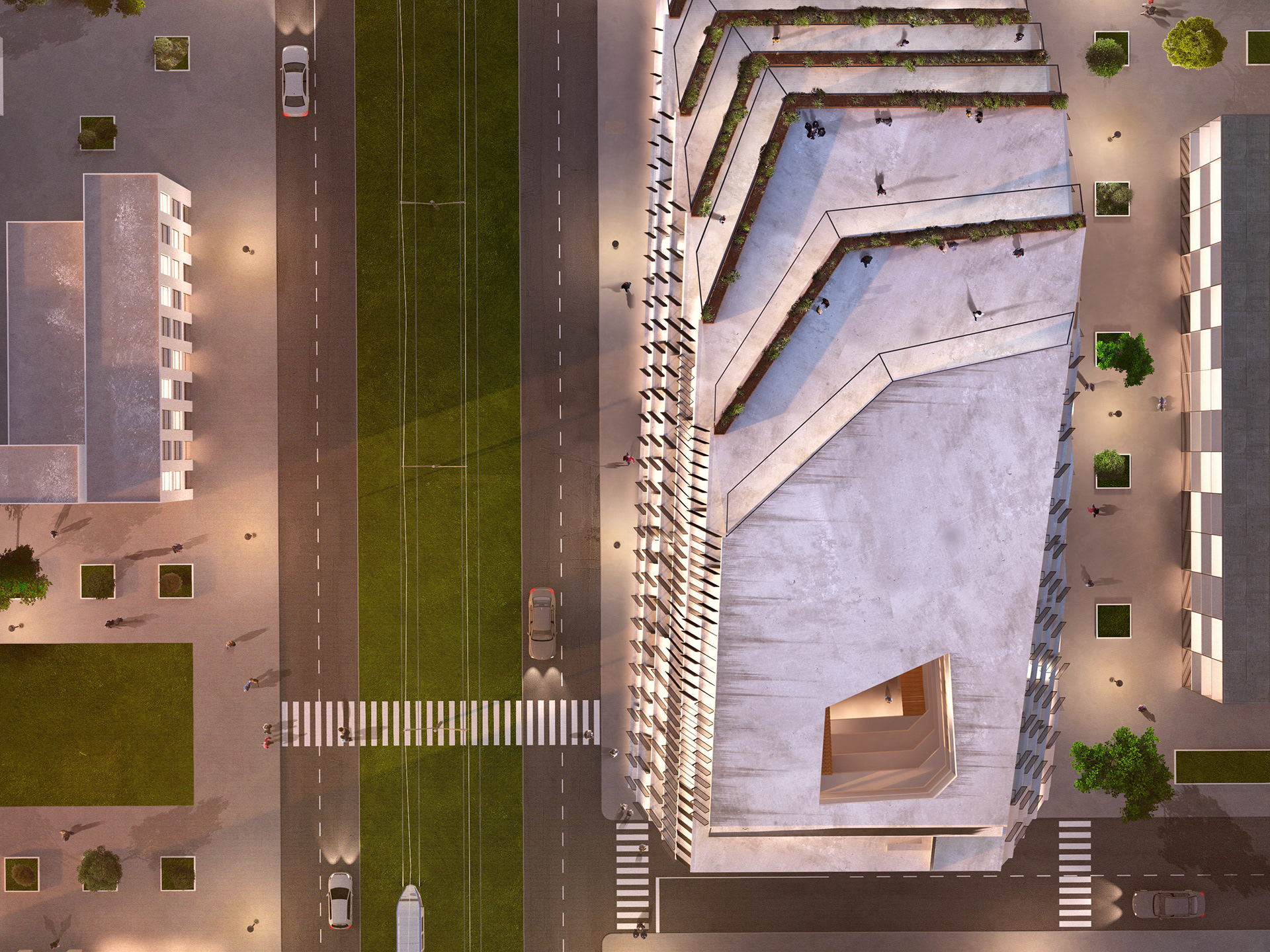
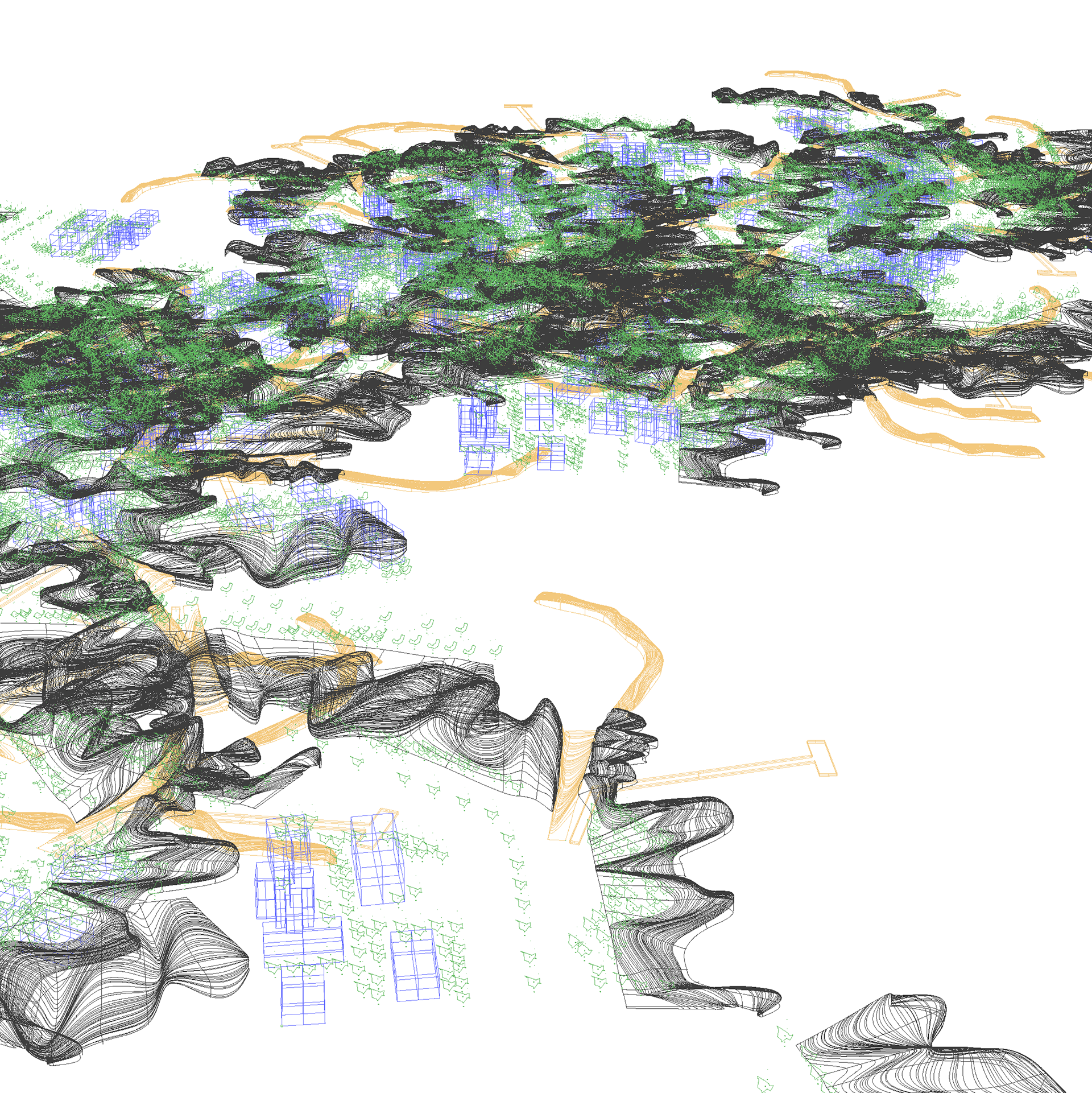
Aerials views of a node of new Darwin. Each relationship unique and specific to its isolated environment.
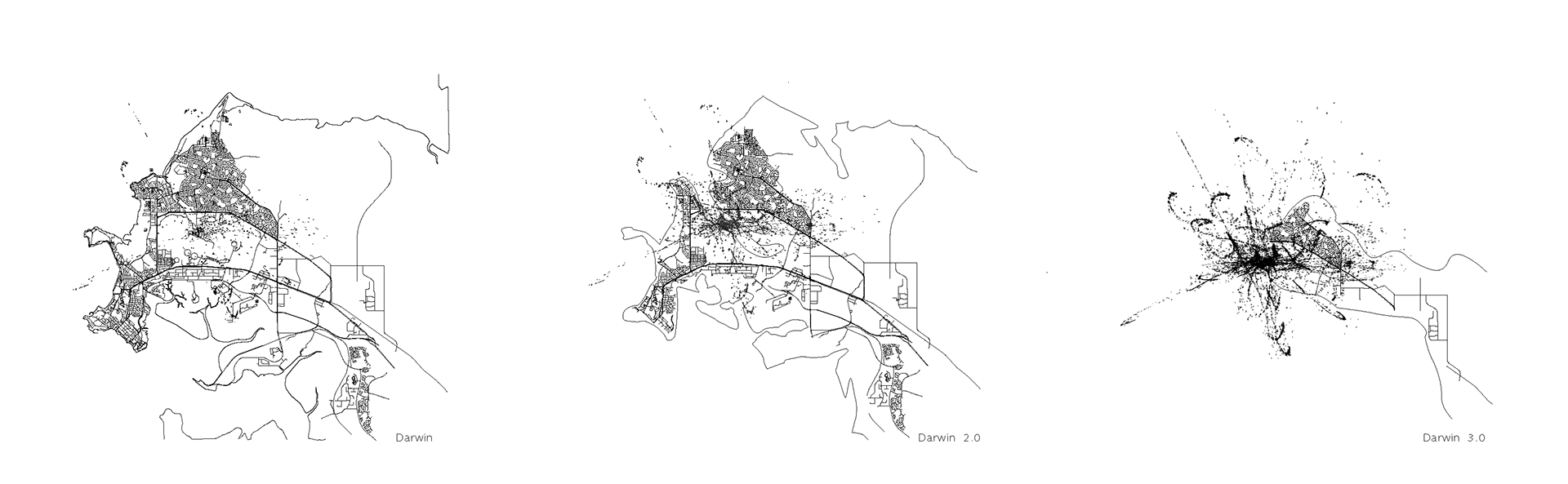
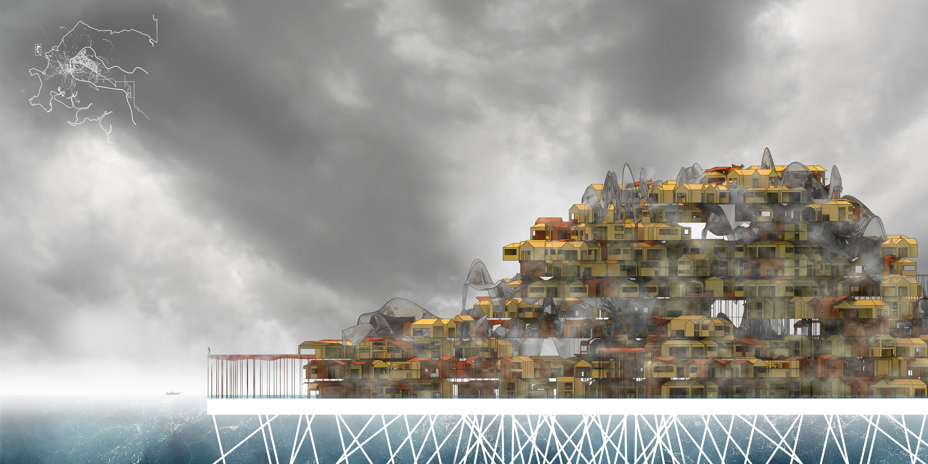
Estimated retraction of coastlines with rising sea levels
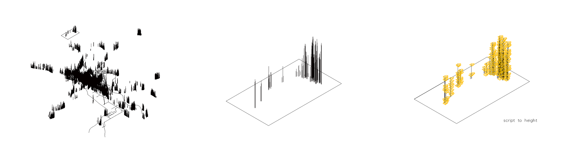
Translated the script’s density to result in vertical rise
Maintaining detachment from the code input, I used the existing built environment to inform in the code for the new mega-city infrastructure.
One aerial node of new Darwin. Each relationship unique and specific to its isolated environment.